01
Hydrological Assessment
Analysis of water flow, sediment transport, and flood risk to establish baseline conditions.
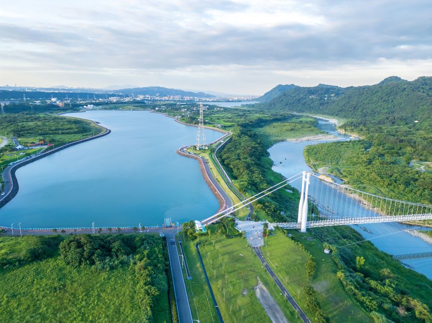
Tidewater's methodological framework for river territories integrates hydrological analysis, landscape architecture, and sustainable development principles. The approach begins with hydrological assessments that characterize flow regimes, sediment transport, and floodplain dynamics. Concurrently, landscape architecture establishes spatial configurations that respect the morphological and ecological attributes of river corridors, including riparian zones and public interfaces. Sustainable development considerations guide long-term planning by aligning with environmental, social, and economic parameters. The integration follows an iterative process: hydrological data informs design decisions; landscape strategies are evaluated for their compatibility with water processes; sustainability criteria ensure that development remains within ecological thresholds. This framework is primarily informational and process-oriented, emphasizing documentation, transparent criteria, and ongoing monitoring. It does not prescribe specific outcomes, as external factors such as climate variations, land-use changes, and regulatory frameworks continuously influence the planning context.
Analysis of water flow, sediment transport, and flood risk to establish baseline conditions.
Conceptual design integrating ecological and recreational elements with river dynamics and site context.
Consideration of environmental impact, resource efficiency, and long-term resilience in planning decisions.
Phased construction with adaptive management and ongoing assessment to inform potential adjustments.
Hydrology, landscape architecture, and sustainable development are closely interrelated in river landscape projects. Hydrological assessments inform spatial planning, which in turn influences ecological and social considerations. However, outcomes depend on site-specific conditions, regulatory frameworks, and stakeholder priorities. Recognising these interconnections helps project teams adopt a context-sensitive approach — one that remains adaptable and responsive to local dynamics. We provide informational resources and methodological perspectives to support informed decision-making across these combined fields.
Tidewater is an organisation dedicated to the study and evolution of river landscapes. Its professional focus spans three interconnected areas: hydrology, landscape architecture, and the sustainable development of territories along water. The work involves understanding river systems and their behaviour, applying landscape design principles to waterside settings, and framing development approaches around long-term environmental balance. Each project area relies on hydrological data, spatial design methods, and sustainability frameworks applied together, rather than in isolation. Tidewater therefore positions rivers, valleys, and the built elements around them at the centre of its expertise, using structured analysis of waterways and landscapes along them as the basis for each field of activity.